In May 2017 we deployed some new biochemical sensors to measure pH and the amount of oxygen in the water, along with an automated sampler which collects and stores water samples for later shore-based analysis. The instruments were deployed on a physics mooring in 1800 m of water in the Rockall Trough west of the UK.
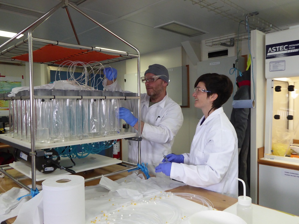
Essentially, the instruments were attached to a 1750 m length of wire that is tethered to the seabed by weights and kept vertical by floats. The pH sensor and automated water sampler were attached so they were 50 m below the water surface, with the dissolved oxygen sensors deployed at 50 m, 750 m, 1000 m and 1600 m below the surface. The sensors made measurements every hour throughout the years deployment and stored this data for us to download on recovery. This means we can get a time-series of how pH and dissolved oxygen change throughout the year. The automated sampler collected 500 ml of water every 2-3 weeks throughout the year and stored this within sealed plastic bags. We will analyse this for nutrients and also carbon parameters. Again we will get a time-series of their variability throughout the year. This is the first time we have a time-series like this in the eastern subpolar North Atlantic.
News:
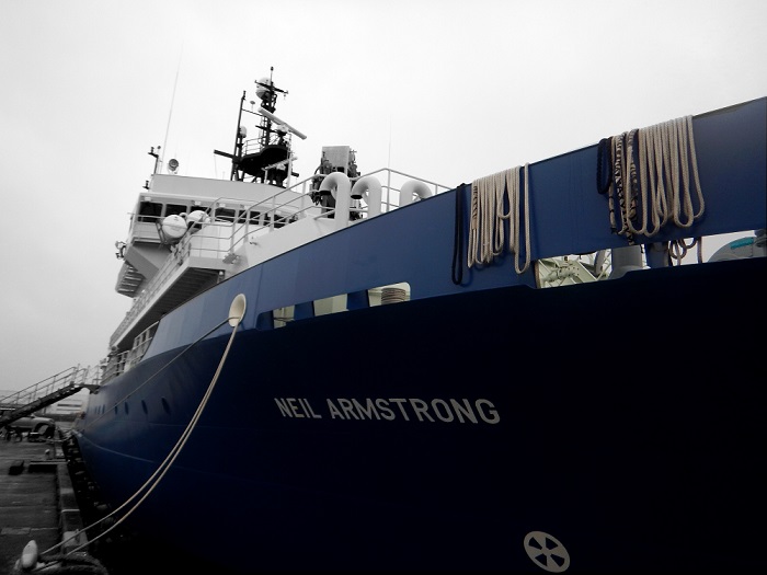
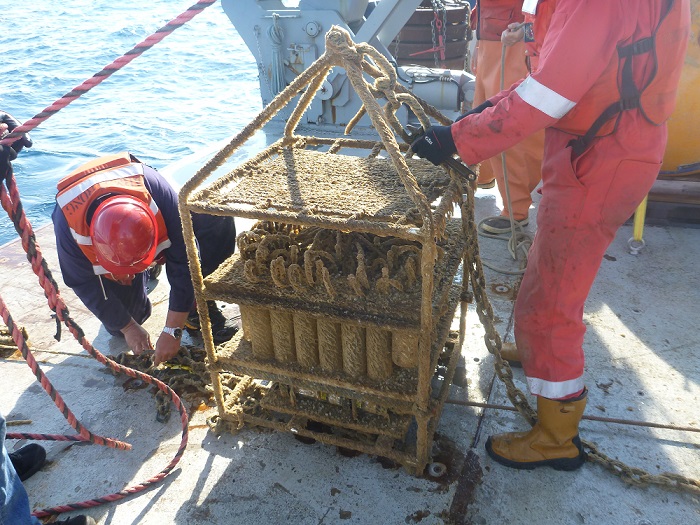
The current cruise on RV Armstrong recovered these sensors, downloaded the data, re-calibrated them and then re-deployed them in the same spot. This time they are being left to collect data for a further two years, with the planned recovery in the summer 2020. It is still very early days, but it looks like we got good data from three of the four dissolved oxygen sensors as well as from the pH sensor. There is still a lot of work to do back here to calibrate the data and ensure its quality but so far so good! It also looks as if the automated sampler collected all of the scheduled water samples although we will not know this for certain until the sampler is back at SAMS and we remove the samples.
In addition to recovering the moored sensors, we have also been doing a hydrographic section across the Rockall Trough from east to west. The moored sensors give us an idea of how things vary with time, whilst the hydrographic sections tells us how things vary from one spot to another. Combining the two allows us to build up a more comprehensive view of the ocean. The hydrographic section consists of 23 stations. At each station we lower a frame containing multiple sensors from the sea surface to the seabed and back again. This gives us a profile of how temperature, salinity and dissolved oxygen change with depth. In addition to the sensors, the frame has multiple bottles which close at a particular depth giving us a water sample from that point. We will analyse some of this water for nutrients and carbon parameters to again get a depth profile of these variables.
Why we’re doing this:
The ATLAS project is trying to understand the deep ecosystems throughout the North Atlantic, these new measurements of parameters relevant to biology are part of this. The OSNAP (Overturning in the Subpolar North Atlantic Program) has enabled us to quantify the transport of heat and salt through the important North Atlantic region. By combining data from the ATLAS instruments with results from OSNAP, we will also be able to calculate the flow of nutrients and carbon. These transports drive patterns of diversity across the North Atlantic.
by Clare Johnson, SAMS


